
Important safety directions and instructions for setting up and operating the Leica iCON gps 60 system
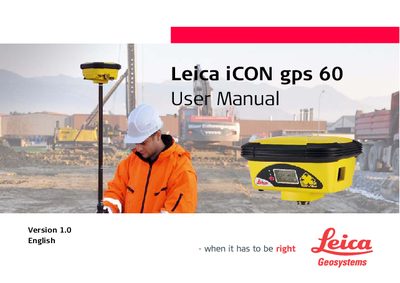
The Leica iCON gps 60 is a GNSS antenna system designed for surveying applications. This user manual covers the complete lifecycle of the device, from unpacking and initial setup to daily operation and storage.
Key topics include installing the internal battery and SIM card, understanding antenna heights (MRP), connecting field controllers via Bluetooth, configuring base and rover setups, and performing raw data logging. The document also details safety directions, care instructions for transport and cleaning, and provides comprehensive technical specifications.
| Dimensions (L x W x H) | 197 x 197 x 130 mm |
|---|---|
| Weight (with modem) | 1.45 kg / 3.20 lbs |
| Internal Battery Capacity | GEB221: 4.4 Ah |
| External Supply Voltage | 9 V-28 V DC |
| GPS + GLONASS Logging (15s rate) | 3100 h |
The recommended storage temperature range is -20°C to +30°C (-4°F to 86°F) in a dry environment.
The 466 MB capacity is typically sufficient for about 3600 hours of L1 + L2 + L5 data logging at a 15-second rate.
The overall dimensions for the housing including sockets are 197 mm in length, 197 mm in width, and 130 mm in thickness.