
The Leica LS10 & LS15 Digital Levels are high-precision, high-grade leveling instruments. They feature ultra-high accuracy of 0.2mm/km, electronic bubble leveling, electronic compass, autofocus, image alignment, and more. They are suitable for demanding applications such as high-grade leveling observations, settlement monitoring, control measurements, etc.
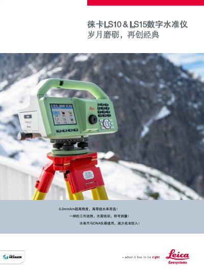
The Leica Geosystems LS10 and LS15 digital levels are high-precision surveying instruments designed for high-order leveling, settlement observation, and infrastructure projects like railways and subways. They feature a 0.2mm/km accuracy when used with standard invar scales, eliminating the need for expensive special scales. The instruments utilize the same workflow as the DNA series, allowing users to operate them without additional training. This manual is written in Chinese.
| Elevation Measurement Accuracy (Invar Scale) | 0.2mm / 0.3mm |
|---|---|
| Elevation Measurement Accuracy (General Leveling Scale) | 21.0mm / 1.0mm |
| Distance Measurement Accuracy | 15mm at 330m / 15mm at 30m |
| Maximum Measurement Distance | 4110m / 110m |
| Memory Capacity | 30000 measurement points |
| Display | 3.6 inch QVGA Color Touchscreen |
| Telescope Magnification | 32x |
| Operating Temperature Range | -20℃ to +50℃ |
| Protection Rating | IP55 |
The accuracy is 0.2mm/km for the LS10 and 0.3mm/km for the LS15 when using a standard invar scale.
No, they can achieve high accuracy using standard invar scales (GPCL3) without needing expensive special scales.
The LS10 can measure up to 4110m, while the LS15 has a maximum distance of 110m.