
This manual provides instructions for installing, operating, and using the Leica TS Series tunnel section measurement software on compatible total stations.
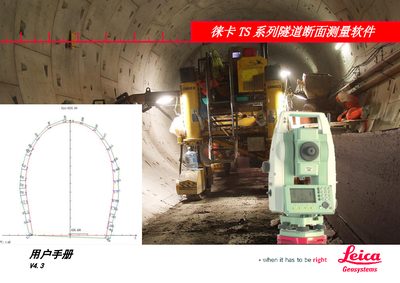
The document is a user manual for the Leica TS Series tunnel section measurement software (Version 4.3). It details the software's capabilities in organizing data, performing layout measurements such as overbreak/underbreak detection and cross-section scanning, and viewing results.
The guide covers installation procedures via LEICA FlexOffice or USB storage cards, general conventions for operation, and step-by-step workflows including route definition, design profile input, and data transmission. It also includes a section on post-processing software features. This manual is written in Chinese.
This software is designed for use with Leica TS02, TS06, and TS09 total stations that have non-prism (NP) ranging capabilities.
The program upload via PC takes approximately 30 minutes and requires the instrument and computer to remain powered on and connected.
The TS06 and TS09 models can store a maximum of 100,000 known points.