
This document is the user manual of Leica Geosystems Total Station 303/305/307. It introduces the functions and features of the total station and its usage methods.
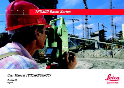
The Leica Geosystems TC(R)303/305/307 is a high-quality electronic total station designed for construction site surveys and setting out tasks. The instrument features interactive keys, an LCD display, continuous drives for horizontal and vertical angles, and optional measurements without reflectors using an integrated visible laser beam.
This User Manual covers the complete operation of the device, including unpacking, battery installation, tripod setup, leveling procedures, and various measuring functions such as point search, station block recording, height determination, and coordinate setting out. It also details menu navigation, data management, error message interpretation, instrument error determination (line-of-sight and vertical index), and care instructions for storage and cleaning.
| Angle measurement accuracy TC(R)303 | 3" (1 mgon) |
|---|---|
| Angle measurement accuracy TC(R)305 | 5" (1.5 mgon) |
| Angle measurement accuracy TC(R)307 | 7" (2 mgon) |
| Telescope magnification | 30x |
| Objective aperture | 40 mm |
| Shortest focussing distance | 1.7 m (5.6 ft) |
| Circular level sensitivity | 6'/2 mm |
| Electronic bubble sensitivity TC(R)307 | 2" (0.7 mgon) |
The accuracy is 3" (1 mgon) for the TC(R)303, 5" (1.5 mgon) for the TC(R)305, and 7" (2 mgon) for the TC(R)307.
Yes, TCR instruments feature measurements without reflectors using an integrated visible laser beam.
The shortest focusing distance is 1.7 meters (5.6 feet).