
Leica Geosystems HDS Tunnel Section Measurement System V1.00 User Manual

This user manual guides users on operating the Leica Geosystems HDS Tunnel Section Measurement System software for post-processing tunnel survey data.
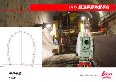

Leica Geosystems HDS Tunnel Section Measurement System V1.00 User Manual - cover page
Brand
Leica Geosystems
Category
Other Electronics
Document type
User Manual
Language
Chinese
Pages
21
File format
PDF
File size
960 KB
Published
16 October, 2026
Updated
16 October, 2026
MD5 checksum
BC845E758C7727462A3E8C76D344DBA1

About this manual

This manual describes the Leica Geosystems HDS Tunnel Section Measurement System software, designed to assist in post-processing tunnel surveys. It covers the main functions and features, including 3D display of point cloud data, curve editing, and section processing. This manual is written in Chinese.

What's inside

  • Overview
  • Software Interface
  • Data Input
  • Calculation Operations
  • Printing Operations
  • Editing Tools

Frequently asked questions

What file format is required for importing tunnel point cloud data?

The software requires XYZ format files to import tunnel point cloud data.

How are curve files grouped for calculation purposes?

Curve files are grouped by filename, meaning files with the same name but different suffixes are treated as a set.

What is the valid range for the number of points used in cross-section extraction calculations?

The point selection range for calculations is between 36 and 360.

Download PDF (960 KB)

More Leica Geosystems Manuals


View all Leica Geosystems manuals →