
This document is the user manual for the Leica TS12P instrument, which includes important safety directions and instructions for setting up and operating the product.
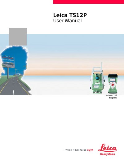
The Leica TS12P is a total station instrument designed for measuring horizontal and vertical angles, distances, and recording measurements. It supports advanced features such as automatic target search, recognition, and following (ATR), visualizing aiming direction, and remote control via the RadioHandle.
This user manual covers essential topics including safety directions regarding laser classification and electromagnetic compatibility, a detailed description of system components and concepts, operation procedures for instrument setup and battery management, and guidelines for checking and adjusting the instrument's alignment.
The instrument is intended for measuring horizontal and vertical angles, measuring distances, recording measurements, and remote control.
It is dangerous to use poles and extensions near electrical installations, so you must keep a safe distance or contact safety authorities first.
You should watch out for erroneous measurement results and periodically carry out test measurements and field adjustments.