
This document provides operation instructions for the GlobalMap® Baja 840C Mapping GPS receiver by Lowrance Electronics. The product features map creation, freedom maps, nautical paths, and supports map data from Fishing Hot Spots and Navionics, among others.
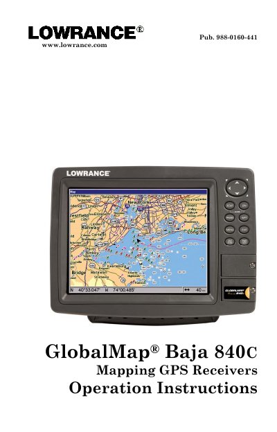
This manual provides operation instructions for the Lowrance Baja 840C Mapping GPS Receiver. It covers essential topics including how the unit works, installation preparations, and basic GPS operations such as using the keyboard, viewing maps, and navigating to waypoints.
The guide also details advanced features like creating trails, searching for points of interest, and configuring NMEA 2000 networks. Additionally, it explains system setup options, alarm settings, map customization, and supplemental materials including warranty information.
The storage and operation temperature range is from -20 degrees to +167 degrees Fahrenheit (-28 degrees to +75 degrees Celsius).
Extended storage or operation in temperatures higher or lower than specified will damage the liquid crystal display, which is not covered by the warranty.