
Key facts
- Brand
- Leica
- Model
- GS18
- Category
- Surveying Equipment
- Documents
- 2
- Languages
- ZH · EN
- Last added
- 2026-09-29
Start here
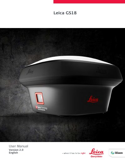
Leica GS18 GNSS Instrument User Manual
The Leica GS18 User Manual provides safety directions, a description of the system, user interface information, operation instructions, care and transport guidance, technical data, and pin assignments and sockets. It applies to all models of the Leica GS18 GNSS instrument.
The manual states that updated versions are available for download from myWorld@Leica Geosystems and that the model and serial number are indicated on the type plate.
Leica GS18 specifications
| GNSS channel count | 555 |
|---|---|
| RTK measurement accuracy | 8 mm + 1 ppm (V) for single‑baseline network RTK |
| Weight | 1.20 kg (standard) / 3.50 kg (with battery) |
| Ingress protection | IP68 (dust‑tight and water‑proof) |
| Battery / power options | Replaceable 2.8 Ah / 11.1 V Li‑ion battery (≈4 h) or 12 V DC (10.5‑28 V) up to 7 h |
All Leica GS18 documents by type
Day-to-day operation, settings and troubleshooting. Start here if the product is already set up.
Questions answered in these manuals
Does the GS18 require any calibration before use?
No, the GS18 provides automatic tilt compensation and does not need any calibration.
How many satellite signals can the GS18 track simultaneously?
It can track up to 555 channels covering all major GNSS constellations.
Which Leica GS18 models does this manual cover?
It applies to all models of the Leica GS18 GNSS instrument.
Where can updated versions of the manual be downloaded?
Updated versions are available for download at https://myworld.leica-geosystems.com > myDownloads.