
Key facts
- Brand
- Leica
- Model
- GPS1200
- Industry
- Industrial
- Documents
- 5
- Languages
- EN
- Last added
- 2012-05-10
Start here
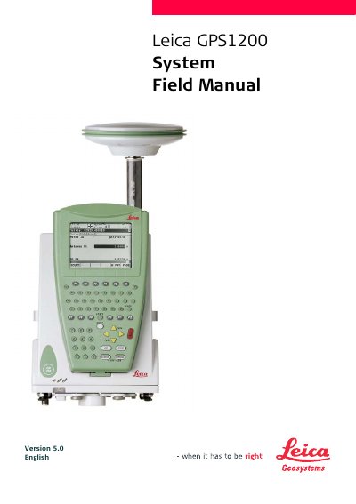
Leica GPS1200 System Field Manual
This field manual introduces the GPS1200 series, covering safety directions, product identification, and the meaning of symbols used throughout the instrument. It explains the different model variants (RX1200, RX1210, RX1210T, RX1250X, RX1250Xc, RX1250T, RX1250Tc) and provides quick reference to the user interface, including keyboard and touch‑screen operation.
The guide details equipment setup, antenna height determination, real‑time reference configurations, data management, coordinate system handling, and various configuration sets. It also describes status monitoring, NTRIP internet services, and menu navigation, helping users perform surveying tasks efficiently.
Leica GPS1200 specifications
| Recommended PC processor | Pentium 1 GHz or higher |
|---|---|
| Recommended PC RAM | 512 MB or more |
| SmartAntenna model | ATX1230 / ATX1230 GG |
Source: Leica GPS1200 PC Simulator Getting Started User Manual
All Leica GPS1200 documents by type
Day-to-day operation, settings and troubleshooting. Start here if the product is already set up.
Questions answered in these manuals
Which satellite augmentation systems are supported by the GPS1200?
The device supports WAAS, EGNOS and MSAS augmentation systems.