
This document introduces the methods for using Leica GPS1200 Rover to locate and capture locations.
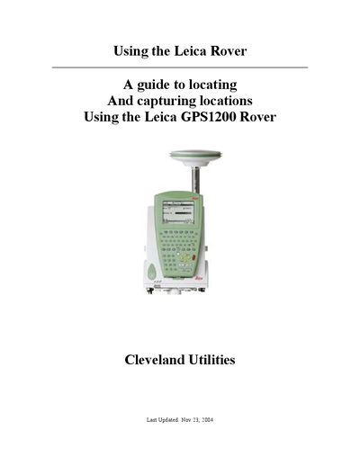
This manual explains how to prepare and import DXF files from MicroStation, create jobs, and transfer data to the Leica GPS1200 Rover using the Leica Geo Office software. It covers the full workflow from design‑to‑field, including packing data onto the Compact Flash card and loading it onto the rover.
The guide also details field operations such as connecting the rover, entering Survey mode, configuring stakeout settings, locating points by visual cues or coordinates, and exporting collected data back to MicroStation. Safety notes and troubleshooting steps are included throughout.