
A compact and precise 3D laser scanner offering rapid data capture with up to 2 million points per second and automated field scanning without targets.
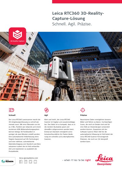
The Leica RTC360 is a portable 3D reality capture solution designed for speed, agility, and precision. It features a high-speed measurement rate of up to 2 million points per second, enabling the creation of colored 3D point clouds in under two minutes. The system utilizes an automated field capture process without targets, based on VIS technology, to reduce on-site time and maximize productivity. This manual is written in German.
| Measurement Rate | up to 2 million points per second |
|---|---|
| Scan Time | less than 2 minutes |
| Effective Measurement Range | 360° (horizontal) / 300° (vertical) |
| Minimum Range | 0.5 m |
| Maximum Range | 130 m |
| Laser Class | Class 1 |
| Wavelength | 1550 nm |
| Weight | 5.35 kg |
| Operating Temperature | -5 to +40 °C |
| Protection Class | IP54 |
Up to 2,000,000 points per second.
Up to 130 meters.
5.35 kg nominal.
Three selectable settings: 3 mm, 6 mm, or 12 mm.