
GPS 72H is a GPS navigation device produced by Garmin
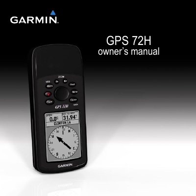
This manual provides step-by-step instructions for installing batteries, using buttons and rocker controls, and navigating with the GPS 72H. It covers features like waypoints, tracks, routes, and map settings. The device is waterproof, floatable, and designed for marine use with DGPS accuracy support.
Additional sections include battery management, cleaning, resetting, and connecting to a computer. Specifications detail physical dimensions, display, temperature range, and GPS performance including accuracy and update rate.
| Physical Size | 1.2 × 2.7 × 6.2 in. (3.0 × 6.9 × 15.75 cm) |
|---|---|
| Weight | 7.9 oz. (224 g) |
| Display | High-contrast FSTN, 4-level gray scale display (120 × 160 pixels) |
| Case | Fully gasketed, floatable, high-impact plastic alloy, waterproof to IEC 529-IPX-7 |
| Temperature Range | From 5°F to 140°F (from -15°C to 60°C) |
| Battery Life | 18 hours in Battery Saver mode |
| Receiver | Differential-ready 12 parallel channel receiver |
| Acquisition Times | Approximately 3 seconds (hot start), 32 seconds (warm start), 39 seconds (cold start) |
| Update Rate | 1/second, continuous |
| GPS Accuracy | < 15 meters (49 feet) RMS 95% typical |
| DGPS (USCG) Accuracy | 3–5 meters (10–16 ft), 95% typical |
| DGPS (WAAS) Accuracy | 3 meters (10 ft.) 95% typical |
| Velocity Accuracy | 0.1 knot RMS steady state |
| Dynamics | 6 g |
Turn the D-ring 1/4 turn counter-clockwise, pull the cover loose, insert batteries observing polarity, then replace the cover.
GPS accuracy is less than 15 meters (49 feet) RMS 95% typical, with DGPS corrections improving accuracy to 3 meters (10 ft.) 95% typical.
Press the Power button to turn it on, and press and hold to turn it off.
Battery life is 18 hours in Battery Saver mode.