
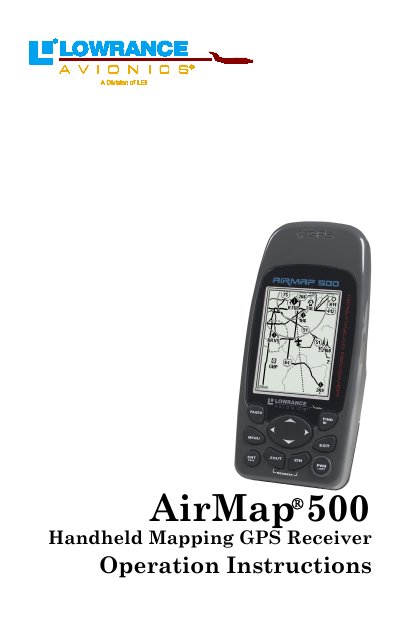
This manual provides comprehensive operation instructions for the Lowrance AirMap 500 Handheld Mapping GPS Receiver. It serves as a guide for users to navigate effectively in both aviation and land modes, utilizing features such as satellite status tracking, map viewing, route planning, and waypoint management.
The document details installation procedures including power setup, memory card usage, and accessory mounting. It further explains how to switch between Aviation Mode and Land Mode, offering specific instructions for searching airports, navigating routes, creating trails, and configuring system settings like alarms, units of measure, and map data.
It is a true pocket-sized GPS+WAAS receiver designed for navigation in the air, on the ground, and on the sea.
The unit functions as three different GPS receivers in one, supporting Aviation Mode, Land Navigation Mode, and Marine navigation.