
This document is the Lowrance GlobalMap 3500C Mapping GPS Receiver Operation Instructions. It introduces the product's functions and features, as well as how to use the product.
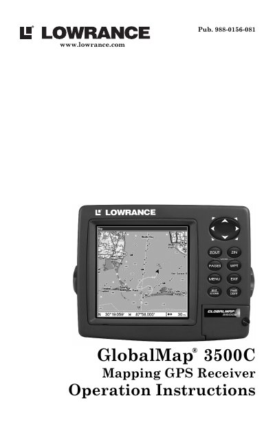
This manual provides step-by-step instructions for installing and operating the Lowrance GlobalMap 3500C GPS receiver. It covers basic navigation, map usage, waypoint and route management, and system customization. The device features a 5.0" color display, built-in maps, and support for custom mapping software like MapCreate. It is designed for marine and outdoor navigation with waterproof construction and GPS/WAAS capabilities.
The manual is organized into seven sections: introductory information, installation, basic operations, advanced navigation, system setup, searching, and supplemental material. It includes safety warnings, troubleshooting tips, and detailed explanations for features such as trail navigation, map overlays, and coordinate systems.
| Display | Color 5.0" (12.7 cm) diagonal high contrast Film SuperTwist LCD |
|---|---|
| Resolution | 480 pixel x 480 pixel resolution |
| Input Power | 10 to 15 volts DC |
| Case Size | 5.4" H x 6.9" W x 3.4" D (13.8 x 17.6 x 8.6 cm) |
| GPS Receiver | External; LGC-2000 12 parallel channel NMEA-2000-ready GPS/WAAS receiver/antenna |
| Position Updates | Every second |
| Waypoints | 1,000 |
| Languages | 10 |
| Routes | 100; up to 100 waypoints per route |
It has a 5.0" color high contrast Film SuperTwist LCD.
It can store up to 1,000 waypoints.
It accepts 10 to 15 volts DC.
It includes built-in maps, MapCreate 6 software, FreedomMaps, IMS Fishing Hot Spots, NauticPaths, and Navionics charts.