
HOLUX M-1200E is a wireless GPS recorder that can record up to 200,000 locations, each with longitude, latitude, time, and altitude data. It can be used with USB/Bluetooth connection to upload record files, and then analyze the record files. Combined with these locations and digital photos, it can be shared with ezTour or Google Earth and other mapping software for track history records and photo location data.
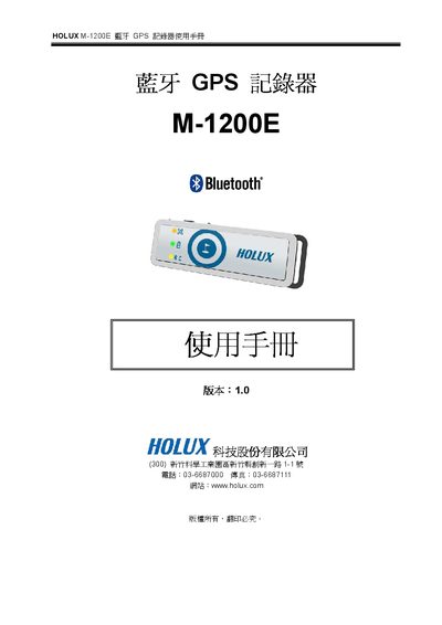
The Holux M-1200E is a Bluetooth‑enabled GPS recorder that stores up to 200,000 position points with latitude, longitude, time and altitude data. It features a built‑in MTK MT3329 low‑power GPS chip, dual transmission via USB and Bluetooth, a rechargeable Li‑ion battery, and four LED indicators for status.
This manual covers the device’s hardware layout, main functions, detailed specifications, usage limits, power requirements, FCC compliance statements, and step‑by‑step instructions for connecting to a PC or PDA, configuring COM ports, and using the recorder with mapping software. This manual is written in Chinese.
| Chipset | MTK MT3329 |
|---|---|
| Satellite Channels | 66 parallel channels |
| Frequency | 1575.42 MHz |
| Receiver Code | L1, CA code |
| Internal Memory | 4 MBytes |
| Re‑positioning Time | 0.1 s |
| External Power Input | 5 V DC ±5 % |
| Maximum Operating Altitude | <18,000 m |
| Maximum Speed | <515 m/s |
| LED Indicators | 4 different colors |
| Bluetooth Profile | SPP compatible |
It can search up to 66 parallel satellite channels.
The device can operate up to 18,000 meters (about 60,000 feet) altitude.
The battery can provide up to 17 hours of continuous operation.