
This is a manual about how to use ESRI Collector App.
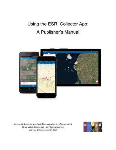
This manual explains how to use the ESRI Collector App to record data in the field with offline map access. It details the workflow for creating a project, including setting up an ArcGIS Online group and preparing data in ArcCatalog.
A smartphone or tablet with iOS, Android, or Windows 10 (tablets only) is required.
ArcGIS Online uses the 'WGS 1984 Web Mercator Auxiliary Sphere' coordinate system.
The feature layers must have 'Create', 'Update', 'Query', 'Delete', and 'Sync' capabilities enabled.
A group must be created with a name, avatar, summary, description, and access settings.