
Key facts
- Manuals
- 2
- Languages
- ZH · EN
- Last added
- 2000-01-01
Featured ESRI manuals
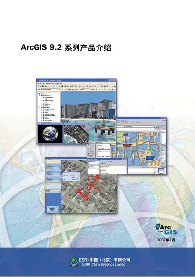
ESRI ArcGIS 9.2 Series Product Introduction Manual
The manual introduces the ArcGIS 9.2 product family, describing its four main deployment frameworks: desktop GIS (ArcReader, ArcView, ArcEditor, ArcInfo and extensions), server GIS (ArcIMS, ArcGIS Server, ArcGIS Image Server), engine GIS and mobile GIS (ArcPad, ArcGIS Mobile). It explains how the platform has evolved with improvements in quality, usability, documentation and a new server‑based architecture that enables web‑based map editing and services.
Detailed sections cover the enhancements for each component, the optional extension modules (Spatial Analyst, 3D Analyst, Network Analyst, etc.), development tools such as ArcObjects and the EDN developer network, and guidelines for designing mobile maps and using GPS integration in field applications. This manual is written in Chinese.
Covers: ArcGIS 9.2 系列产品介绍 · ArcGIS 桌面增强与新功能 · ArcGIS Server 增强与新功能 · ArcGIS Engine 功能概述 · ArcGIS Mobile 与 ArcPad · 可选的扩展模块
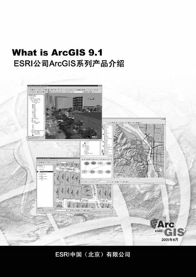
Esri ArcGIS 9.1 Product Overview Manual
The document introduces ArcGIS 9.1, the GIS software suite from Esri. It lists the main products in the series, including ArcGIS Desktop, ArcGIS Engine, ArcGIS Server, ArcPad and the Geodatabase.
It also mentions development tools such as ArcObjects, the Development Kit, and related utilities like ArcCatalog, ArcMap and ArcToolbox, giving a high‑level view of the capabilities offered in the 9.1 release.
Covers: What is ArcGIS 9.1 · ArcGIS Desktop · ArcGIS Engine · ArcGIS Server · ArcPad · Geodatabase
Latest ESRI manuals
ESRI ArcGIS 9.2 Series Product Introduction Manual
Product Leaflet 96 pages · 6.9 MB · ZHThe ESRI ArcGIS 9.2 Series Product Introduction Manual provides an overview of the desktop, server, engine and mobile GIS components and their new features.
Esri ArcGIS 9.1 Product Overview Manual
Product Leaflet 100 pages · 7.1 MB · ENThis Esri ArcGIS 9.1 product overview manual provides a brief description of the ArcGIS suite components.
Questions answered in ESRI manuals
What is the purpose of the Geodatabase in ArcGIS 9.1?
The Geodatabase is the data storage and management component of ArcGIS, used for storing maps, tables and spatial data.