
This file is a Leica Geosystems GS20 manual, which introduces the basic operation, data collection, data management, navigation, task management, codelist management, application, utility, setup, status and glossary of the product.
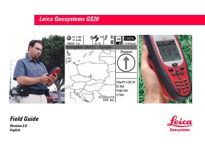
The Field Guide introduces the Leica GS20 handheld GPS/GIS data collector, describing its integrated GPS receiver, antenna, and Bluetooth connectivity. It explains the device’s philosophy of operation, covering data collection, management, navigation, utilities, and configuration settings.
The guide is organized into chapters such as Basic Operation, Data Collection, Data Management, Navigation, Job Management, Codelist Management, Applications, Utilities, Setup, and Status, followed by a glossary and index for quick reference.
Yes, a glossary is provided on pages 113‑114.