
The Leica GPS500 measurement system is a system used to receive GPS satellite signals and obtain surface points on the Earth. It can be applied in various fields such as land surveying, deformation monitoring, and underwater terrain measurement. The main components of the system include GPS antennas and GPS receivers, with accessories such as terminals, batteries, PC cards, and cables. There are multiple options for GPS antennas, and the receivers are available in three models: SR510, SR520, and SR530. The TR500 terminal provides a comprehensive user interface for the receivers and can store data in PC cards or memory. The SKI-Pro software is used for data processing and downloading coordinates from field records.
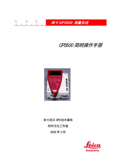
This manual describes the GPS500 TR500 measurement system, covering its hardware components, software interface, and overall system architecture. It is intended for users who need to install, configure, and operate the device in field surveying applications.
Key sections include system overview, configuration functions, navigation and data storage features, as well as detailed operating procedures and troubleshooting tips. The document also lists technical specifications and environmental limits for proper use. This manual is written in Chinese.
| Operating temperature range | -20°C to +55°C |
|---|---|
| Storage temperature range | -40°C to +70°C |
Use the Config menu to set the required parameters for the device.
The device operates between -20 °C and +55 °C and can be stored between -40 °C and +70 °C.