
The TPS1200 total station instrument-mounted vertical oil tank volume calibration application software by Leica Geosystems has features such as labor-saving, high safety, fast measurement speed, high data reliability, and integrated data measurement output.
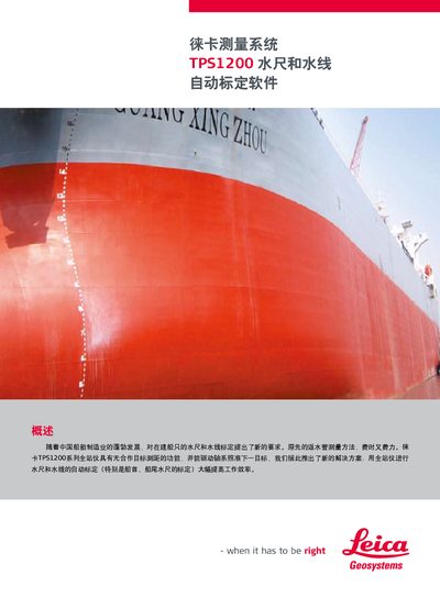
The TPS1200 system provides automatic calibration of water gauges and waterlines for shipbuilding, replacing the time‑consuming manual methods. Using a Leica total station with non‑prism ranging, the system marks calibration points and guides the installation of gauge scales.
The software is installed by copying the program to the instrument’s CF card and loading it. Calibration can be completed in one to two steps, offering millimetre‑level accuracy and significant labor savings. This manual is written in Chinese.
| Accuracy | millimetre‑level |
|---|---|
| Starting distance from baseline | 2 m |
| Projection height interval | 0.1 m |
| Compatible instruments | TCRM1200, TCRA1200, TPRP1200 series |
Calibration can be completed in one to two steps, greatly reducing time and effort.
The system works with Leica TCRM1200, TCRA1200, and TPRP1200 series total stations.
Copy the program to the instrument’s CF card and load it via the instrument’s menu.