
Leica Measurement System TCA airborne automatic monitoring software is designed for deformation monitoring. It is used in conjunction with the TCA total station and has features such as simple operation, flexible limit setting, and automatic observation. The software is suitable for dam deformation monitoring and landslide deformation monitoring. It can check errors in real-time and handle them automatically. The software has comprehensive post-processing capabilities and supports SQL Server database management. The compatible instrument is the TCA1800/2003 total station.
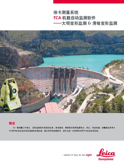
This manual describes the Leica TCA measurement system, a software package designed for high‑precision deformation monitoring of dams and landslides. It highlights the system's ability to handle large numbers of observation targets with high accuracy, making the TCA series total stations the preferred instrument for such tasks.
Key functions include flexible limit‑difference settings, automatic measurement after an initial learning phase, real‑time error checking, automatic report generation in Excel, PDF or HTML formats, and data management via an SQL Server database. Installation is performed through Leica Survey Office, and the software is compatible with TCA1800/2003 total stations. This manual is written in Chinese.
| Applicable instrument | TCA1800/2003 total station |
|---|---|
| Report formats | Excel, PDF, HTML |
Reports can be saved as Excel, PDF, or HTML files.