
Trimble GeoXH GPS with Terrasync Guide

This guide documents its use with TerraSync software to collect points, lines and polygons.
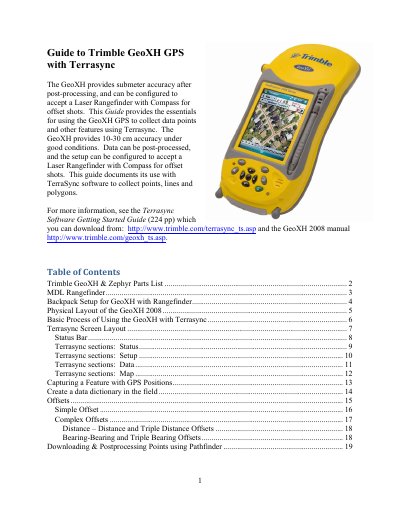

Trimble GeoXH GPS with Terrasync Guide - cover page
Brand
Trimble
Category
GPS
Document type
User Manual
Language
English
Pages
20
File format
PDF
File size
771 KB
Published
16 October, 2023
Updated
16 October, 2023
MD5 checksum
F9B3889F8D0ACDB844CCB008910C46EB

About this manual

This document serves as a guide for using the Trimble GeoXH GPS receiver with the Terrasync software to collect data points, lines, and polygons. It details the configuration of the device to accept a Laser Rangefinder with Compass for offset shots and covers the post-processing of collected data.

What's inside

  • Trimble GeoXH & Zephyr Parts List
  • MDL Rangefinder
  • Backpack Setup for GeoXH with Rangefinder
  • Physical Layout of the GeoXH 2008
  • Basic Process of Using the GeoXH with Terrasync
  • Terrasync Screen Layout
  • Status Bar
  • Terrasync sections: Status
  • Terrasync sections: Setup
  • Terrasync sections: Data

Specifications

Accuracy (post-processing)submeter
Accuracy (field)10-30 cm
Offset rangeup to 300m
Baud rate9600

Frequently asked questions

What accuracy can the GeoXH provide under good conditions?

The GeoXH provides 10-30 cm accuracy under good conditions.

How do you calibrate the MDL Rangefinder tilt?

Press the navigation button to toggle to 'Yes', then press the Fire button while the unit is stable and level.

Download PDF (771 KB)

More Trimble Manuals


View all Trimble manuals →