
Google Earth Web Manual for Viewing Piracicaba Property Boundaries

Manual for using Google Earth Web to view Piracicaba property boundary files and identify the competent registry office.
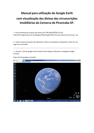

Google Earth Web Manual for Viewing Piracicaba Property Boundaries - cover page
Brand
Google
Category
Other software
Document type
User Manual
Language
Portuguese
Pages
5
File format
PDF
File size
1.2 MB
Published
09 November, 2026
Updated
09 November, 2026
MD5 checksum
18656A32554D68224FE6226883DE9330

About this manual

This manual explains how to download and extract boundary files for real estate circumscriptions in the Piracicaba, SP area and open them in Google Earth Web.

It covers enabling KML import, importing the extracted files, saving the profile, and using the displayed boundaries to determine territorial competence of the relevant property registry office. This manual is written in Portuguese.

What's inside

  • Download boundary files
  • Extract ZIP files
  • Access Google Earth Web
  • Enable KML import
  • Import KML file
  • Save profile
  • View Piracicaba boundaries
  • Identify competent registry office

Specifications

BrowserGoogle Chrome
File formatKML
KML import optionExperimental

Frequently asked questions

Which browser does the manual use for Google Earth Web?

Google Chrome.

What must be enabled before importing KML files?

The experimental KML file import option.

What are the two loaded boundary files?

One shows the divisions of Piracicaba and its districts, and the other shows the division of São Paulo state.

What can be done after loading the files?

Locate a property and determine the territorial competence of the relevant property registry office.

Download PDF (1.2 MB)

More Google Manuals


View all Google manuals →