
The Garmin echoMAP 40/50/70/90 series user manual explains operation, navigation, sonar, chart views, settings and troubleshooting for the chartplotter.
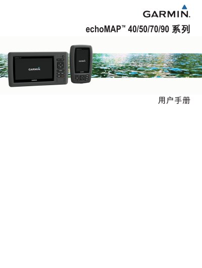
This manual provides step‑by‑step instructions for using the echoMAP 40/50/70/90 chartplotters, covering everything from inserting a microSD card and updating software to adjusting backlight and color mode. It also details how to customize the home screen, work with chart and 3‑D views, and manage AIS, DSC and sonar functions.
Additional sections explain GPS signal acquisition, safety alerts, data backup, system settings, and a comprehensive FAQ that helps resolve common issues such as loss of GPS signal or creating waypoints and routes. This manual is written in Chinese.
| Supported storage card | microSD® |
|---|---|
| GPS receiver | Built‑in |
| NMEA interface | NMEA 0183 |
Select the navigation chart, choose the destination and use the “前往” (Go To) option to start navigation.
When GPS signal is lost, the signal indicator disappears and a flashing question mark appears on the chart; check antenna connections and ensure a clear view of the sky.
Download the latest software from Garmin’s website onto a microSD card, insert the card, power on the chartplotter and follow the on‑screen prompts.