
The present invention provides a collaborative positioning method and system, positioning device and storage medium based on three-dimensional map assisted GNSS, combining ray tracing algorithm and double difference method, using ray tracing algorithm to obtain the absolute position of road users, uniformly gridding the area where road users are located, performing NLOS error correction on the pseudo-range of the grid to obtain correction values, randomly pairing the grids belonging to different road users in pairs, using the double difference method to calculate the pseudo-range correction values of the grids, and calculating the posterior probability of the grid pair, and calculating the weighted average of the relative distances of the grid pairs to obtain the relative distance of the two road users, thereby correcting the error caused by the NLOS effect and other abnormal errors; introducing a factor graph as an optimization decision for the positioning problem, determining the uncertainty of each constraint, and calculating the positioning result through a cost function.
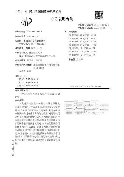
Chinese invention patent CN 110426717 B, granted 2021.08.03 to Hong Kong Polytechnic University (application 201910866398.X, filed 2019.09.12), describes a collaborative positioning method and system assisted by a three-dimensional map. The method determines each road user's absolute position, selects a grid group near that position based on the mapping between a digital terrain model and the actual scene, and corrects the non-line-of-sight (NLOS) error of the grid pseudoranges.
Grids of two road users are paired into m×m grid pairs, a double-difference calculation gives each pair's relative distance, and a posterior probability is used to weight the pairs into a relative distance between the two road users. A factor graph then combines the absolute positions and relative distances, a GNSS positioning error prediction map is used to evaluate the uncertainty of each constraint, and a Levenberg-Marquardt optimization outputs the positioning result. The document also covers the corresponding system, a positioning device with a processor and memory, and a storage medium. This manual is written in Chinese.
Hong Kong Polytechnic University, with the address given as Hung Hom, Kowloon, Hong Kong.
It addresses the insufficient accuracy and stability of existing positioning methods when applied in complex urban environments.
The method combines a ray tracing algorithm with the double-difference method.
The cost function values form the optimization objective function of the factor graph, and the Levenberg-Marquardt optimization method is used to obtain the positioning result.