
This document is a guide to the interpretation of land use and vegetation mapping.
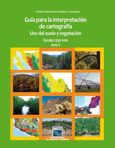
Published by Mexico's Instituto Nacional de Estadística y Geografía (INEGI), this guide explains how to interpret the fifth series of land use and vegetation information at 1:250,000 scale. It presents the conceptual characteristics of the information, the criteria and procedures under which it was produced, and descriptions of the location, distribution and extent of vegetation communities and agricultural types.
The document covers the system's conceptual framework, the digital information characteristics, the production methodology and the content of the Series V information. It includes descriptions of vegetation types and an annex with coding of the main cultivated and natural plant species in Mexico. This manual is written in Spanish.
It contains the elements of the fifth series of land use and vegetation information and explains the conceptual characteristics, criteria and procedures used to produce it.
The cartography is at 1:250,000 scale, Series V.
Five series have been produced: Serie I (1980s), Serie II (1990s), Serie III (2002–2005), Serie IV (2007–2010) and Serie V (2011–2013).