
Key facts
- Manuals
- 2
- Languages
- ES
- Last added
- 2023-11-18
Featured INEGI manuals
INEGI Vertical Geodetic Network Methodological Guide
The Instituto Nacional de Estadística y Geografía (INEGI) presents this methodological guide to make known the methodological aspects that support planning, execution, and provision of height values for Vertical Geodetic Stations or Benchmarks relative to a geodetic reference frame in the national territory.
The guide covers general aspects, a conceptual framework, field and processing stages for vertical geodetic surveys, formats and instructions, and common errors in vertical geodetic surveys. This manual is written in Spanish.
Covers: General aspects · Conceptual framework · Methodological guide for the vertical geodetic network · Classification and analysis of errors in vertical geodetic surveys · List of tables and figures · Bibliography
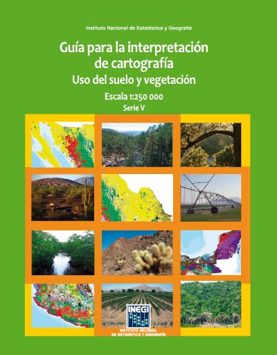
INEGI Land Use and Vegetation Cartography Interpretation Guide 1:250 000 Scale Series V
Published by Mexico's Instituto Nacional de Estadística y Geografía (INEGI), this guide explains how to interpret the fifth series of land use and vegetation information at 1:250,000 scale. It presents the conceptual characteristics of the information, the criteria and procedures under which it was produced, and descriptions of the location, distribution and extent of vegetation communities and agricultural types.
The document covers the system's conceptual framework, the digital information characteristics, the production methodology and the content of the Series V information. It includes descriptions of vegetation types and an annex with coding of the main cultivated and natural plant species in Mexico. This manual is written in Spanish.
Covers: Introducción · Antecedentes · Objetivos · Características de la información · Sistema conceptual · Metodología
Latest INEGI manuals
INEGI Vertical Geodetic Network Methodological Guide
Other 99 pages · 3.6 MB · ESINEGI methodological guide for vertical geodetic network surveys and vertical benchmark stations.
INEGI Land Use and Vegetation Cartography Interpretation Guide 1:250 000 Scale Series V
Other 200 pages · 10.2 MB · ESINEGI guide for interpreting the Series V land use and vegetation cartography at 1:250,000 scale, produced from 2011–2013 national data.
Questions answered in INEGI manuals
What is the vertical geodetic network?
It is one of three branches of the National Geodetic System, represented by points on the national territory established on physical marks to obtain elevation or height values by geodetic measurements relative to a reference level.
What is the general objective of the guide?
To generate and provide height values of Vertical Geodetic Stations or Benchmarks corresponding to the Vertical Geodetic Network, as part of the geodetic reference frame data group.
What does this INEGI guide cover?
It contains the elements of the fifth series of land use and vegetation information and explains the conceptual characteristics, criteria and procedures used to produce it.
From: INEGI Land Use and Vegetation Cartography Interpretation Guide 1:250 000 Scale Series V
What scale is the land use and vegetation cartography?
The cartography is at 1:250,000 scale, Series V.
From: INEGI Land Use and Vegetation Cartography Interpretation Guide 1:250 000 Scale Series V