
This guide describes the use of the V200n Vector GNSS Compass. The guide includes the following:
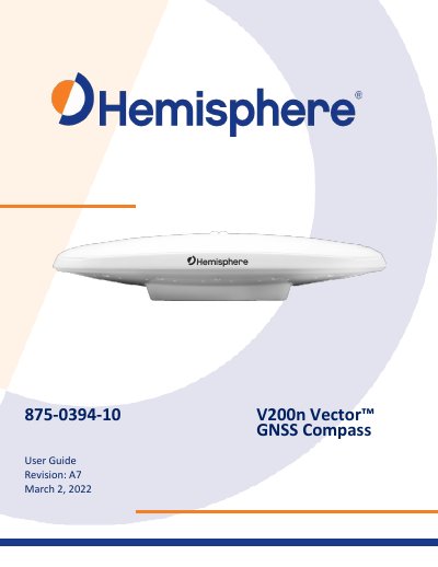
The V200n Vector GNSS Compass is a Hemisphere GNSS product that tracks GPS, GLONASS, Galileo, BeiDou, QZSS and Atlas signals. It combines dual multipath-resistant GNSS antennas, a power supply and a six-axis sensor in a 35 cm housing that can be surface- or pole-mounted. The guide covers kit contents, PocketMax communication, firmware upgrades, mounting, ports, WebUI, external connections, GNSS operation and troubleshooting.
Technical specifications list receiver type, signals, channels, update rate, positioning and heading accuracy, start times, speed and altitude limits. The document also includes NMEA 2000 messages and proprietary message details for integrating the compass with external equipment.
| Receiver type | Vector sFreq GNSS Compass |
|---|---|
| Signals received | GPS, GLONASS, BeiDou, Galileo, QZSS, Atlas |
| Channels | 424 |
| Update rate (position and heading) | 10 Hz standard, 20 Hz optional |
| Positioning accuracy (Autonomous) | 1.2 m RMS |
| Positioning accuracy (SBAS) | 0.30 m RMS |
| Heading accuracy (Standard) | 1.5° RMS |
| Heading accuracy (Optional) | 0.75° RMS |
| Cold start | 60 s typical |
| Maximum speed | 1,850 kph (999 kts) |
It is capable of tracking and using GPS, GLONASS, Galileo, BeiDou and QZSS satellites.
Heading is determined from GNSS; the V200n does not need settling time, gyrocompass calibration or speed corrections.
The standard heading accuracy is 1.5° RMS.
It uses a standard NMEA 2000 5-pin connector and does not include internal CAN termination.