
《MANUAL DE OPERACIÓN DE LA ESTACIÓN TOTAL》is an instruction manual about surveying instrument. It is suitable for people who are learning surveying knowledge or working in surveying industry
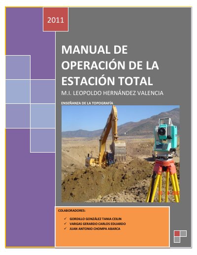
This Spanish manual explains operation of the Sokkia SET520k total station. It introduces the instrument, its general application in topographic surveying, its operating principle, and its parts and accessories.
It then describes total station setup and centering, selection and marking of the topographic control point, electronic leveling, working file selection, station orientation, coordinate entry, polygon area calculation, backsight, and use of the Prolink program with export to Civil CAD. This manual is written in Spanish.
| Model | SET520k |
|---|---|
| Power source | Rechargeable lithium batteries |
| Battery life | Approximately 6 hours of continuous field work |
| Charger capacity | 2 batteries simultaneously, AC 110 V |
| Data output | USB port |
| Stored coordinates | N, E, Z |
The manual is based on the Sokkia SET520k total station.
The prism captures the laser when observed by the total station and reflects it back to the instrument.
A charged battery provides approximately 6 hours of continuous field work.
A backsight is a point whose coordinates were previously determined and that is visible from the instrument location.