
This report provides the user guide for Digital Shoreline Analysis System (DSAS) Version 5.0, which can be used to analyze shoreline changes, including beach erosion, shoreline advance, shoreline erosion and shoreline growth. The system is based on satellite imagery, topographic maps, shoreline line drawings and wave height data. It uses mathematical models to analyze shoreline changes.
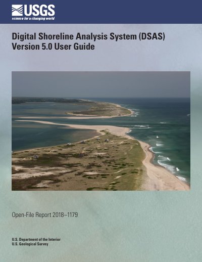
This user guide documents the Digital Shoreline Analysis System (DSAS) version 5.0, a software tool published by the U.S. Geological Survey as Open-File Report 2018–1179. The original DSAS software was developed by Rob Thieler and Bill Danforth in the early 1990s, and version 5.0 reflects years of updates to serve a global user base.
The guide explains how to install the software, work with sample data, set up geodatabases, shorelines and baselines, cast transects, and calculate change statistics such as Net Shoreline Movement, Shoreline Change Envelope, End Point Rate, and Linear Regression Rate. It also covers beta shoreline forecasting with a Kalman filter model, summary reports, metadata handling, troubleshooting, and sample data workflows.
| Software version | 5.0 |
|---|
Rob Thieler and Bill Danforth developed the original DSAS software in the early 1990s, and it has been updated over the past 25 years.
The original MATLAB code was converted to Python for this update.