
Key facts
- Manuals
- 1
- Languages
- EN
- Last added
- 2023-11-02
Featured U.S. Geological Survey manuals
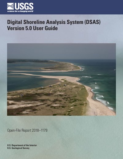
USGS Digital Shoreline Analysis System (DSAS) Version 5.0 User Guide
This user guide documents the Digital Shoreline Analysis System (DSAS) version 5.0, a software tool published by the U.S. Geological Survey as Open-File Report 2018–1179. The original DSAS software was developed by Rob Thieler and Bill Danforth in the early 1990s, and version 5.0 reflects years of updates to serve a global user base.
The guide explains how to install the software, work with sample data, set up geodatabases, shorelines and baselines, cast transects, and calculate change statistics such as Net Shoreline Movement, Shoreline Change Envelope, End Point Rate, and Linear Regression Rate. It also covers beta shoreline forecasting with a Kalman filter model, summary reports, metadata handling, troubleshooting, and sample data workflows.
Covers: Introduction · Installation Steps · Sample Data · DSAS Toolbar · Required Inputs · DSAS Workflow
Latest U.S. Geological Survey manuals
USGS Digital Shoreline Analysis System (DSAS) Version 5.0 User Guide
User Manual 124 pages · 36 MB · ENUser guide for the U.S. Geological Survey's Digital Shoreline Analysis System (DSAS) version 5.0, covering installation, transects, and shoreline change…
Which document do I need?
User Manual
Day-to-day operation, settings and troubleshooting. Start here if the product is already set up.
Questions answered in U.S. Geological Survey manuals
Who developed the Digital Shoreline Analysis System (DSAS)?
Rob Thieler and Bill Danforth developed the original DSAS software in the early 1990s, and it has been updated over the past 25 years.
From: USGS Digital Shoreline Analysis System (DSAS) Version 5.0 User Guide
What is new in DSAS version 5.0?
The original MATLAB code was converted to Python for this update.
From: USGS Digital Shoreline Analysis System (DSAS) Version 5.0 User Guide