
Sandvik TIM3D is a 3D machine automation drill rig navigation system that brings drilling rigs to the realm of 3D machine automation.
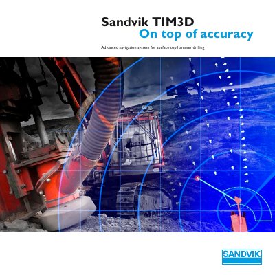
The Sandvik TIM3D system uses satellite navigation to guide drilling rigs with precision, supporting GPS and GLONASS. It improves hole quality and efficiency by eliminating manual surveying and marking. The system includes rig navigation, feed alignment, and drilling operations, with a clear interface and automatic course recalculations if deviations occur.
Data from drilling operations is stored and can be exported for use in blasting simulations or other programs, helping optimize production processes in quarrying, construction, and open pit mining.
| Navigation Accuracy | 10 centimetres |
|---|---|
| Satellite Systems | GPS and GLONASS |
| Supported Drill Rigs | Sandvik DPi and DX series |
The navigation accuracy is kept within 10 centimetres using local base station or VRS correction.
TIM3D supports both GPS and GLONASS satellite systems.
TIM3D is designed for Sandvik DPi and DX series surface top hammer drill rigs.