
The ShakeMap Manual is a technical manual published by USGS on earthquake shaking maps, including the principle, use and software development of ShakeMap.
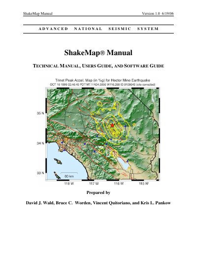
ShakeMap is an advanced national seismic system that rapidly and automatically generates shaking and intensity maps following significant earthquakes. It combines instrumental measurements with local geology and earthquake location data to estimate shaking variations across a geographic area. These maps are valuable tools for emergency response, public information, loss estimation, and scientific analysis.
ShakeMap is used to rapidly assess the scope and extent of shaking and potential damage following an earthquake.
Maps are made available within several minutes of the earthquake.
ShakeMap generates separate maps of the spatial distribution of peak ground-motions (acceleration, velocity, and spectral response) as well as a map of instrumentally derived seismic intensities.
ShakeMap is part of the Advanced National Seismic System (ANSS).