
Key facts
- Manuals
- 1
- Languages
- EN
- Last added
- 2023-10-26
Featured USGS manuals
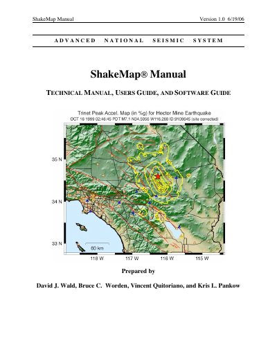
USGS ShakeMap Technical Manual, Users Guide, and Software Guide
ShakeMap is an advanced national seismic system that rapidly and automatically generates shaking and intensity maps following significant earthquakes. It combines instrumental measurements with local geology and earthquake location data to estimate shaking variations across a geographic area. These maps are valuable tools for emergency response, public information, loss estimation, and scientific analysis.
Covers: Introduction and Overview · Users' Guide · Technical Manual · Software Guide · Recorded Ground-motion Parameters · Estimating and Interpolating Ground-motions
Latest USGS manuals
USGS ShakeMap Technical Manual, Users Guide, and Software Guide
User Manual 156 pages · 3.8 MB · ENThis manual covers the ShakeMap system, providing technical details, user instructions, and software guides for generating rapid earthquake shaking maps.
Which document do I need?
User Manual
Day-to-day operation, settings and troubleshooting. Start here if the product is already set up.
Questions answered in USGS manuals
What is ShakeMap used for?
ShakeMap is used to rapidly assess the scope and extent of shaking and potential damage following an earthquake.
From: USGS ShakeMap Technical Manual, Users Guide, and Software Guide
How soon after an earthquake are ShakeMap maps available?
Maps are made available within several minutes of the earthquake.
From: USGS ShakeMap Technical Manual, Users Guide, and Software Guide