
This manual describes the public's right of access to the shoreline in Maine and provides the public with legal information on coastal access issues.
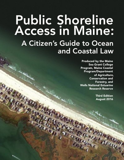
This document serves as a guide to understanding public and private rights regarding access to Maine's ocean and coastal waters. It explains that while the state owns submerged lands below the mean low-water line for public use, private owners typically hold title to the shore down to the low water mark. The guide details the balance between these interests, noting that the public has longstanding rights to fish, fowl, and navigate in the intertidal zone, even on privately owned land. It also clarifies that the public generally has no right to use privately owned upland areas for recreation or access to the water without the owner's permission.
Only about 12% is in public ownership.
The State of Maine owns submerged land below the mean low-water line, out to three nautical miles.
The phrase 'fishing, fowling and navigation' comes from Maine's history and laws regarding the intertidal area.