
This manual describes how to use the GPSMAP 182/182C chartplotting receiver.
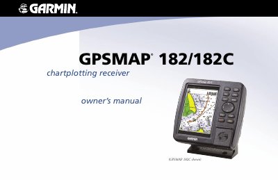
The Garmin GPSMAP 182/182C is a chartplotting receiver designed for marine navigation. This owner's manual details the operation of the unit, including initialization, basic navigation features like waypoints and routes, and the use of various display pages such as the Map, Highway, and Sonar tabs. It also covers configuration options within the Main Menu and specific features like WAAS capability and DSC calls.
| Waterproof Rating | IEC Standard 60529 IPX7 |
|---|---|
| Immersion Limit | 1 meter for 30 minutes |
Press and hold the POWER key until the power tone sounds, and then release the POWER key.
Press and hold the POWER key for approximately 2 seconds, until the screen is blank, then release the key.
The unit is waterproof to IEC Standard 60529 IPX7 and can withstand immersion in 1 meter of water for 30 minutes.