
AGL3080 GPS Photo Tracker is a powerful GPS tracker that can be used with digital cameras and camera phones to record travel routes and display them on Google Earth or Google Maps. It features easy operation, user-friendly interface, support for various camera and phone models, USB2.0 interface, and large storage capacity.
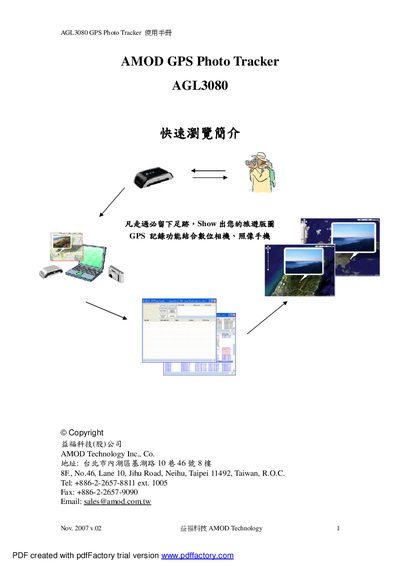
The AGL3080 GPS Photo Tracker is a compact USB‑2.0 device that records GPS positions and links them to photos taken with a digital camera or smartphone. It stores up to 260,000 GPS records in 128 MB of NAND flash and can be used with Windows, macOS, and Linux via the included JetPhoto software or other GPS tools.
The manual explains how to power the unit with three AAA batteries (over 15 hours of operation), interpret the three status LEDs, and transfer logged data. It also covers software installation, data export formats (NMEA0183, GPX, KML), and troubleshooting tips for satellite reception and battery usage. This manual is written in Chinese.
| Interface | USB 2.0 |
|---|---|
| Memory Capacity | 128 MByte NAND Flash |
| Maximum GPS Records | over 260,000 records |
| Battery Type | Standard AAA (3 cells) |
| Operation Time | more than 15 hours |
| LED Indicators | Three LEDs for status |
The device can store over 260,000 GPS records in its internal flash memory.
It uses three standard AAA batteries and can operate for more than 15 hours on a full set.