
A textbook on Geographic Information Systems for university students and professionals in related fields, covering GIS fundamentals, data representation…
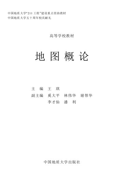
This textbook, published by China University of Geosciences, is designed for students in GIS and cartography programs. It covers GIS fundamentals, map theory, spatial data representation, and digital cartography. It also serves as a reference for professionals in surveying and geographic fields.
The book is structured into nine chapters, starting with GIS and cartography relationships, and progressing to topics like map projections, thematic maps, and remote sensing mapping. This manual is written in Chinese.
It is a textbook on Geographic Information Systems (GIS) and maps, covering their relationship and related topics.
It is primarily authored by Wang Qi, with co-authors including Xi Daping, Lin Weihua, Xie Banghua, Li Caixian, and Wang Li.
GIS integrates computer science, surveying and remote sensing, geography, environmental science, spatial science, information science, and management science.