
This manual provides operating instructions for the LaserCraft Contour XLRic laser measurement system, covering modes, calibration, and specifications.
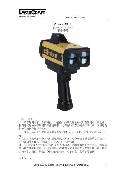
The LaserCraft Contour XLRic is a high-tech laser measurement system that integrates a digital flux compass. It functions as a handheld total station, capable of measuring distances, angles, heights, areas, and more. The device supports connection with GPS systems and includes built-in software for calculating various spatial data. This manual is written in Chinese.
| Maximum Measurement Distance | 1850 meters |
|---|---|
| Measurement Accuracy | 10 centimeters |
| Battery Type | NiMH rechargeable battery |
| Low Voltage Warning Threshold | 8.6 volts |
Select the COMP menu, choose CAL, rotate the unit 1-2 times while moving it slowly in all directions until the data point count reaches 275.
The instrument battery must be charged immediately when the voltage drops below 8.6 volts.
Yes, the device features a special 'bad weather mode' that allows for accurate measurements in cloudy, foggy, or dusty conditions.