
GeoSide 500 is a compact, low-power portable side-scan sonar for high-resolution underwater imaging, with XTSidescan software and XTF data output.
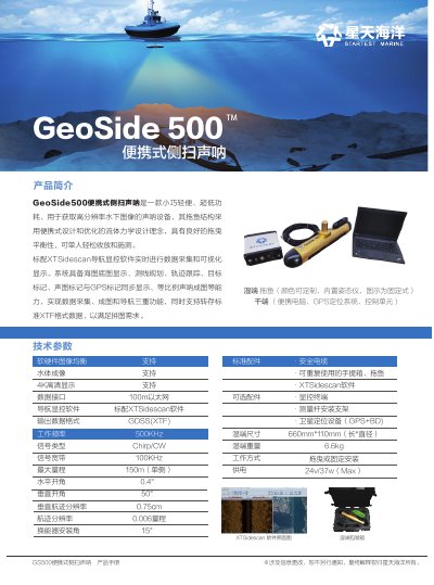
GeoSide 500 (also referred to as GS500) is a compact, lightweight, low-power side-scan sonar for acquiring high-resolution underwater images. Its towfish uses a portable design and an optimized hydrodynamic shape for good towing balance, allowing one person to deploy, recover, and operate it. The system is intended for small survey boats or temporary survey platforms.
The standard XTSidescan navigation and display software supports real-time data acquisition and visualization, chart basemap display, survey-line planning, track tracking, target marking, synchronized sonar and GPS marks, and proportional sonar mapping. It also supports saving and converting standard XTF-format data for mosaic processing. The wet-end towfish includes an internal attitude sensor and is powered at 24 V / 37 W maximum; standard accessories include a safety cable, reusable carrying case, towfish, XTSidescan software, and display/control terminal, with a survey pole mounting bracket and GPS+BD positioning equipment available as options. This manual is written in Chinese.
| Operating Frequency | 500 kHz |
|---|---|
| Signal Type | Chirp / CW |
| Signal Bandwidth | 100 kHz |
| Maximum Range | 150 m (single side) |
| Along-Track Resolution | 0.006 × range |
| Data Interface | 100m Ethernet |
| Output Data Format | GDSS (XTF) |
| Power | 24 V / 37 W (max) |
| Operating Mode | Towed or fixed installation |
| Wet-End Dimensions | 660 mm × 110 mm (length × diameter) |
The maximum range is 150 m on a single side.
XTSidescan navigation and display software is supplied as standard for data acquisition and visualization.
The system outputs standard XTF-format data, listed as GDSS (XTF).
The system is powered at 24 V / 37 W maximum.