
This document is a guide to the geology of the Buffalo Rock and Matthiessen State Parks area. It covers the rocks, mineral resources, and landscapes of the area, as well as the geological processes that led to their formation.
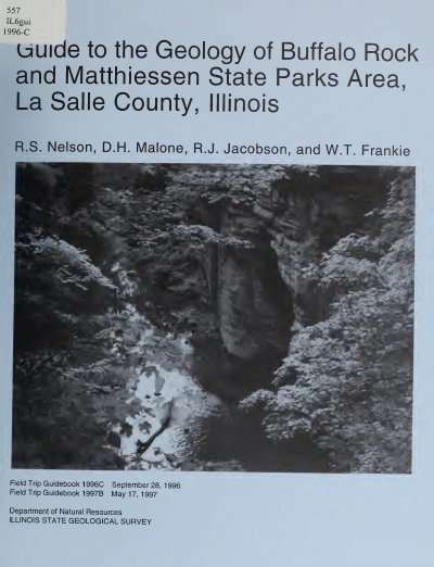
This guidebook was prepared for Illinois State Geological Survey field trips to the Buffalo Rock and Matthiessen State Parks area in La Salle County, Illinois. It covers the geologic framework, structural and depositional history, geomorphology, natural resources, and descriptions of stops along the field trip route.
The route includes stops at Buffalo Rock State Park, the Illinois Cement Company Quarry, Starved Rock Clay Products Clay Pit, Matthiessen State Park Dells Area, Moline Consumers Company Vermilion Quarry, the north bank of the Vermilion River, cyclothems in the Carbondale Formation, and Quaternary strata at Bailey Falls Quarry. The guidebook also includes references, a glossary, and supplementary reading.
Buffalo Rock State Park is in north-central Illinois along the north bank of the Illinois River, about 85 miles southwest of Chicago.
Three USGS 7.5-Minute Quadrangle Maps—La Salle, Starved Rock, and Tonica—provide coverage for this field trip area.
The first stop described is Buffalo Rock State Park.