
This document describes how to draw forest fire risk maps.
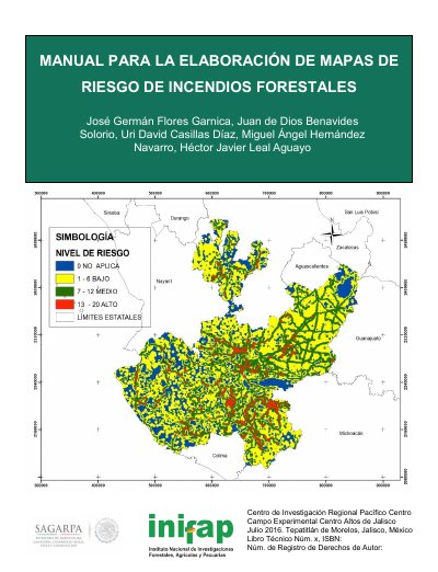
This INIFAP technical manual presents a methodology for elaborating forest fire risk maps to help unify concepts and criteria for determining priority areas for protection against forest fires. It uses georeferenced information and a geographic information system to organize, analyze, and value different variables.
The manual details weighting criteria for forest areas, localities, communication routes, historical fire occurrence, and burned forest polygons, then explains risk map generation, result scales, a glossary, acknowledgements, and cited literature. This manual is written in Spanish.
It supports unifying concepts and criteria for determining priority areas for protection against forest fires.
It uses ArcGIS, including ArcMap and ModelBuilder.
It was published in July 2016.
The print run consisted of 200 copies.