
This document is an instruction manual for a dam in Red Wing, Minnesota, written by the United States Army Corps of Engineers
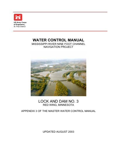
This Water Control Manual, published by the U.S. Army Corps of Engineers St. Paul District in August 2003, provides comprehensive guidance for the operation and management of Lock and Dam No. 3 near Red Wing, Minnesota. It serves as Appendix 3 of the Master Water Control Manual for the Mississippi River Nine Foot Channel Navigation Project.
The manual covers project description, history, watershed characteristics, data collection networks, hydrologic forecasts, water control plans, and emergency procedures. It includes operating curves, gate regulation schedules, and contact information for water control personnel.
| Project Pool Elevation | 675.0 feet (1912 Adjustment) |
|---|---|
| Number of Roller Gates | 4 |
| Location | Red Wing, Minnesota |
The project pool elevation is 675.0 feet (1912 Adjustment).
The U.S. Army Corps of Engineers St. Paul District operates Lock and Dam No. 3.