
Provide hydrological models for the United States military
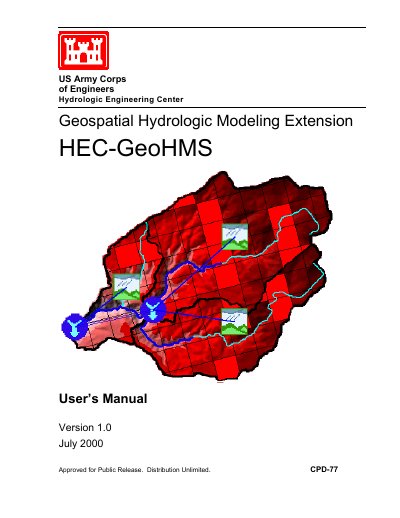
HEC-GeoHMS is a software package for use with the ArcView Geographic Information System and Spatial Analyst to develop hydrologic modeling inputs. It analyzes digital terrain information and transforms drainage paths and watershed boundaries into a hydrologic data structure representing the watershed response to precipitation.
This Version 1.0 manual from July 2000 covers installation, working with HEC-GeoHMS, data collection and assembly, terrain preprocessing, basin processing, stream and watershed characteristics, and the Hydrologic Modeling System connection. It also includes an example application for the American River Basin.
| Version | 1.0 |
|---|---|
| Supported operating systems | Windows 95/98/NT/2000 |
| Required GIS software | ArcView Geographic Information System |
It is a software package for use with ArcView that develops hydrologic modeling inputs.
HEC-GeoHMS is available for Windows 95/98/NT/2000 operating systems.
It uses ArcView and Spatial Analyst.