
A Guide to the Root River & Harmony-Preston Valley State Trails Trail Guide
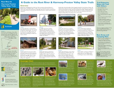
This guide provides information for visitors to the Root River and Harmony-Preston Valley State Trails, located in the Blufflands region of southeastern Minnesota. The trails offer sixty miles of multi-purpose paths suitable for hiking, biking, in-line skating, and cross-country skiing, featuring views of limestone bluffs and access to historic towns.
The document details the specific characteristics of the two trail segments: the 42-mile Root River State Trail and the 18-mile Harmony-Preston Valley State Trail. It also lists amenities available at various trailheads, including parking, restrooms, campgrounds, and lodging options in towns such as Fountain, Lanesboro, Rushford, Peterson, Preston, Houston, and Harmony.
| Root River State Trail Length | 42 miles |
|---|---|
| Harmony-Preston Valley State Trail Length | approximately 18 miles |
| Permitted Activities | hiking, biking, in-line skating, and cross-country skiing |
The trails are designed for hiking, biking, in-line skating, and cross-country skiing.
Yes, this trail requires a permit for cross-country skiing.
Public restrooms and parking are available at the trailheads in Fountain, Lanesboro, Rushford, Preston, and Houston.