
ERDC/EL SR-22-4 Ecosystem Management and Restoration Research Program Geospatial Suitability Indices (GSI) Toolbox User’s Guide
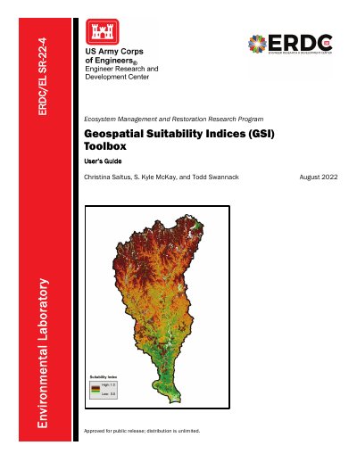
This document is a user's guide for the Geospatial Suitability Indices (GSI) Toolbox, a technical report developed by the US Army Engineer Research and Development Center (ERDC). The toolbox is designed for assessing habitat suitability in ecosystem management and restoration using a Geographic Information System (GIS). It was developed in ArcGIS Pro 2.7 using the Python 3.7 programming language and is intended for use on Windows 10 desktops.
The guide details the operation of two main tools within the toolbox: the Suitability Index Calculator (SIC) and the Overall Suitability Index Calculator (OSIC). The SIC tool calculates parameter suitability indices using thematic or continuous geospatial raster layers, while the OSIC tool combines multiple parameter suitability indices into a single overarching index using statistical options such as arithmetic mean, weighted arithmetic mean, geometric mean, or minimum limiting factor.
| Development Environment | ArcGIS Pro 2.7 |
|---|---|
| Programming Language | Python 3.7 |
| Operating System | Windows 10 |
| Output Range | 0.0–1.0 |
The toolbox is for assessing habitat suitability in ecosystem management and restoration using a geographic information system (GIS).
The OSIC tool includes options for arithmetic mean, weighted arithmetic mean, geometric mean, and minimum limiting factor.