GeoMapApp is a geological geography research software
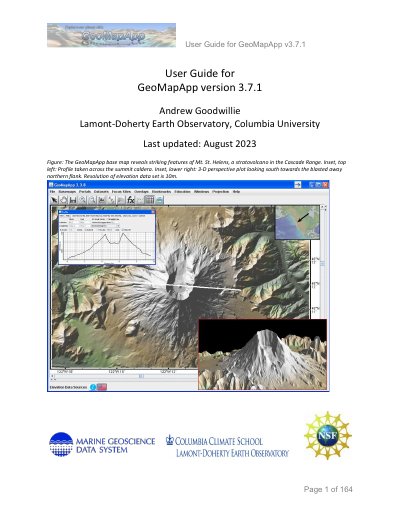
GeoMapApp is a free Java-based application developed by the Lamont-Doherty Earth Observatory and Columbia University for the discovery, exploration, manipulation, visualization, and analysis of geoscience data. It runs on Windows, Mac, Linux, and UNIX operating systems and provides access to a wide range of built-in datasets as well as the ability to import user-defined data.
| Operating Systems | Windows, Mac, Linux, and UNIX |
|---|---|
| Programming Language | Java |
| Version | 3.7.1 |
You can download the application from the GeoMapApp web page at http://www.geomapapp.org/.
The default map projection is the Mercator projection.
Yes, the application allows users to import their own locally-stored data sets.