
DNRGarmin Quick Start Guide

Introduces DNRGarmin software
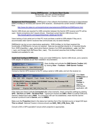

DNRGarmin Quick Start Guide - cover page
Brand
DNRGarmin
Category
Other software
Document type
User Manual
Language
English
Pages
6
File format
PDF
File size
756 KB
Published
26 October, 2023
Updated
26 October, 2023
MD5 checksum
D277DDFCB96E745CD7B284DB6B92C2D5

About this manual

DNRGarmin is free software designed to facilitate the exchange of data between ESRI's ArcMap (or ArcView) and Garmin GPS receivers. It supports connections via USB or serial interfaces and allows users to import and export data in various formats, including ESRI shapefiles, geodatabases, text files, and Google Earth MyPlaces files. The software can also run as a stand-alone application without requiring ArcMap.

What's inside

  • Background And Prerequisites
  • Install And Configure DNRGarmin
  • Create ESRI Shapefiles From Garmin Track Logs
  • Create ESRI Shapefiles From Garmin Waypoints
  • Create Garmin Waypoints From ESRI Shapefiles
  • Create Garmin Tracks From ESRI Shapefiles
  • Use DNRGarmin As A Stand-Alone Application
  • Other Formats

Frequently asked questions

What connection types does DNRGarmin support for a Garmin GPS receiver?

The software supports both serial and USB connections between the receiver and the PC.

What is the default baud rate for Garmin receivers in DNRGarmin?

The default baud rate setting is 9600.

What projection should be used for National Forests in Arizona?

The correct projection setting is NAD_1983_UTM_Zone_12N.

What happens to existing waypoints with the same ID when uploading new ones?

New waypoints will overwrite the existing waypoints that share the same ID.

Download PDF (756 KB)