Universidad Michoacana Edafología Laboratory and Field Manual

This is a manual of soil experiments
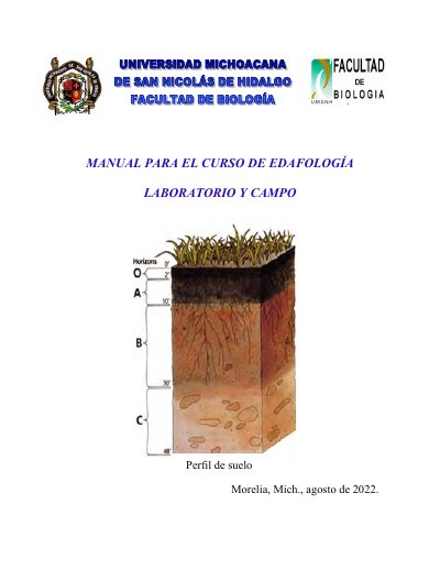

Universidad Michoacana Edafología Laboratory and Field Manual - cover page
Brand
Universidad Michoacana
Document type
User Manual
Language
Spanish
Pages
57
File format
PDF
File size
1.5 MB
Published
21 October, 2023
Updated
21 October, 2023
MD5 checksum
CEA47C2E6E86C9A8B9A8A5312E3E6583

About this manual

This manual is designed for students in the Edafología course at Universidad Michoacana. It provides step-by-step instructions for laboratory and fieldwork, including soil sampling, color determination, texture analysis, density and porosity measurement, moisture content, pH testing, organic matter assessment, and cation exchange capacity. The manual includes practical exercises, diagrams, and data tables for recording results. It was revised and updated in August 2022 by faculty and laboratory staff. This manual is written in Spanish.

What's inside

  • Interpretation of Topographic and Edaphic Maps
  • Soil Sampling and Site Characterization
  • Sample Preparation for Analysis
  • Soil Color Determination
  • Texture Determination
  • Density and Porosity Determination
  • Soil Moisture Measurement
  • pH Determination
  • Organic Matter Determination
  • Cation Exchange Capacity Determination

Frequently asked questions

What is the scale of the topographic and edaphic maps used in this manual?

The scale is 1:50 000, meaning each unit on the map corresponds to 50 000 units in reality.

What does the number 3 in the soil texture classification indicate?

It indicates soils with fine texture, containing more than 35% clay.

What is the conductivity range for moderately saline soil?

It has an electrical conductivity between 8 and 16 mmhos.

What is the maximum latitude value on a map?

The maximum latitude value is 90°.

Download PDF (1.5 MB)