
Key facts
- Manuals
- 1
- Languages
- EN
- Last added
- 2023-10-21
Featured ArcGIS manuals
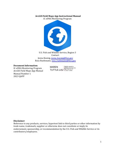
ArcGIS Field Maps App User Manual for eDNA Monitoring
This manual provides step-by-step instructions for using the ArcGIS Field Maps App for eDNA field data collection. It covers setup, login procedures, device configuration, and field operations including sample point collection and editing. The guide also includes troubleshooting steps and post-processing procedures for syncing data and managing devices.
The app is designed for U.S. Fish and Wildlife Service staff involved in invasive carp eDNA monitoring. It requires an ArcGIS Online account and specific permissions to access the FWS Great Lakes Region 3 FAC Invasive Carp eDNA Collection group. Login involves signing in with a U.S. Fish and Wildlife Service account via Microsoft Authenticator and accepting DOI terms of use.
Covers: ArcGIS Field Map App Basics and Set Up · Using ArcGIS Field Map App in the field · Troubleshooting · Post Processing of eDNA Data and I-Pad Device
Latest ArcGIS manuals
ArcGIS Field Maps App User Manual for eDNA Monitoring
User Manual 37 pages · 3.7 MB · ENUser guide for ArcGIS Field Maps App used in eDNA monitoring by U.S. Fish and Wildlife Service staff.
Which document do I need?
User Manual
Day-to-day operation, settings and troubleshooting. Start here if the product is already set up.
Questions answered in ArcGIS manuals
How do I log in to the ArcGIS Field Maps App?
Open the app, select 'Sign In with ArcGIS Online', choose 'fws' as the login method, then sign in using your U.S. Fish and Wildlife Service account via Microsoft Authenticator and accept the DOI Terms of Use.
What device is required to use the app?
An iPad device with Bluetooth enabled and a GNSS receiver connected via Bluetooth. Location services must be allowed for the app to function.